Grotto Members help with mapping and research across the planet
Southern California Grotto members have provided the needed expertise to successfully complete research initiatives and assist cave managers in ongoing programs. Participation in caving science or mapping projects often requires experience with the type of cave to be studied, familiarity with standard research and data collection methods, and patience. The Southern California Grotto provides opportunities for members to acquire these skills and opportunities to participate in a variety of ongoing projects.
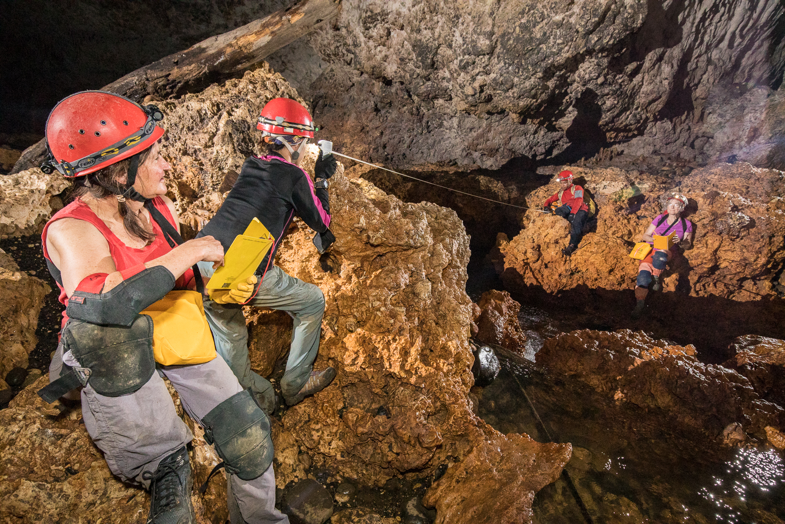
Cave surveying is the process of measuring and documenting a cave so that an accurate map of the cave and its features can be created. High quality cave surveys are essential for recording what is found within the cave, as well as establishing its relationship to features found on the surface.
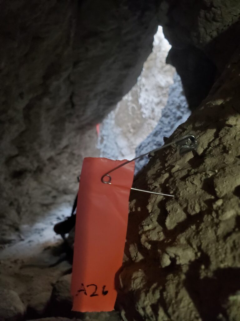
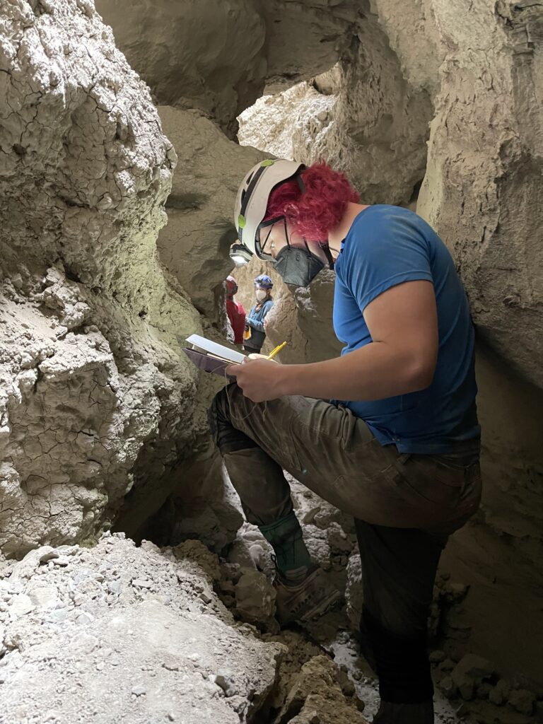
Cave surveying is usually done by a team of cavers working together, each performing a specific function. Measurements are taken using a compass, clinometer, and measuring tape or laser rangefinder. The passage dimensions, along with distances and bearings from one survey station to another, are recorded in a survey notebook or tablet. Plan and profile maps are created by the sketcher.